Browse Articles

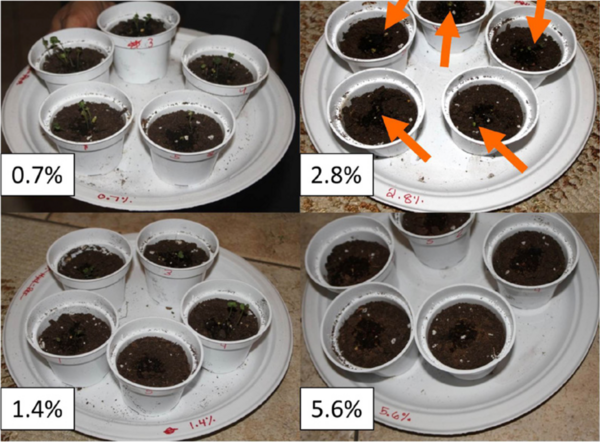
The impacts of different Al(NO3)3 concentrations on the mitotic index of Allium sativum

Jimenez Pol et al. | Jul 10, 2023

The impacts of different Al(NO<sub>3</sub>)<sub>3</sub> concentrations on the mitotic index of <i>Allium sativum</i>
Image credit: Kylie Paz

Recognizing the increasing threat of acid deposition inn soil through the reaction of NOx and SO2 pollutants with water in Spain, the authors investigates the effects of Al(NO3)3 concentrations on the health of Allium sativum. By tracking its mitotic index, they found a negative exponential correlation between Al(NO3)3 concentrations and the mitotic index of A. sativum.

Read More...

Two Wrongs Could Make a Right: Food Waste Compost Accelerated Polystyrene Consumption of Tenebrio molitor

Fu et al. | Jul 13, 2020

Two Wrongs Could Make a Right: Food Waste Compost Accelerated Polystyrene Consumption of <em>Tenebrio molitor</em>

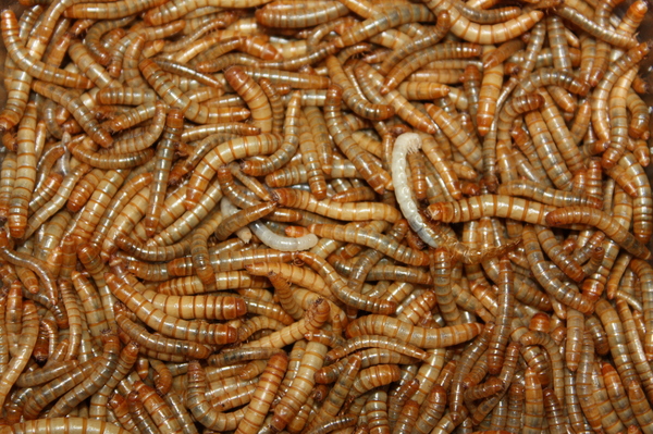
Expanded polystyrene (EPS) is a plastic used to make food containers and packing materials that poses a threat to the environment. Mealworms can degrade EPS, but at a slow rate. Here, researchers assessed the impact of food waste compost and oats on the speed of EPS consumption by mealworms, superworms, and waxworms. A positive correlation was found between food waste compost supplementation and EPS consumption, especially by mealworms, indicating a potential industrial application.

Read More...

A model for angle evolution in conical piles formed using the fixed funnel method

Capaldi et al. | Jul 20, 2026

A model for angle evolution in conical piles formed using the fixed funnel method

When granular materials are poured onto a surface, they form conical piles whose slopes increase before reaching a stable angle of repose. We found that this angle evolution follows a previously unrecognized two-phase exponential growth pattern that is conserved across granular materials with diverse particle properties. The parameters of this model correlate with particle friction and are influenced by deposition conditions, providing a quantitative framework for describing pile formation.

Read More...

Using satellite surface temperature data to monitor urban heat island

Meister et al. | Feb 13, 2026

Using satellite surface temperature data to monitor urban heat island
Image credit: Meister, Horvath, and Brown de Colstoun

This manuscript investigates the urban heat island (UHI) effect by utilizing two satellite datasets: Landsat (high spatial resolution, lower temporal resolution) and MODIS (lower spatial resolution, high temporal resolution). The authors hypothesized that Landsat would provide better spatial detail, while MODIS would better capture temporal variations. Their analysis in the Washington D.C.–Baltimore region supports these hypotheses, demonstrating that Landsat offers finer spatial details, whereas MODIS provides more consistent seasonal patterns and better detects heatwave frequencies.

Read More...